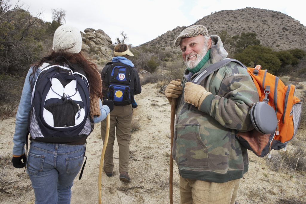
One nature experience brings thousands of explorers to Manitoulin Island: hiking! It’s one of the top destinations for hikers in Ontario, and with hundreds of kilometres of trail, it’s not hard to see why. Check out one of – or, depending on the length of your stay, all – these five amazing hiking trails!
Be sure to prepare: hikes on the Island can have many elevation changes, so do some stretches, pack plenty of water, and carry a backpack with a map and trail guide. Take everything at your own leisure and you’ll be guaranteed a great day out in nature!
Cup And Saucer Trail
One of, if not the most famous trail on Manitoulin Island, the Cup and Saucer Trail is 18 km West of Little Current at the junction of Hwy. 540 and Bidwell Road. The 12 kilometres of trails will take casual hikers through the Island’s beautiful hardwood bush, with two kilometres of adventure trails.
What’s great about Cup and Saucer is that hikers can choose an experience best suited to their skill level and time available. Hikes on the Cup and Saucer take anywhere between 15 minutes and four hours!
Bridal Veil Falls
The Bridal Veil Falls trail takes you to one of Manitoulin’s most popular attractions! It starts on Hwy. 540 at the entrance to Kagawong (which means “where mists rise from falling waters” in Ojibwe); here, you’ll find a picnic area at the top of the falls, with a path that leads down to the base. The trail then curves around both sides of the river valley.
Pack a bathing suit and, once you reach the namesake falls, feel free to take a dip in the pool at the base. Down the trail at the mouth of the river which forms the falls, you’ll find a lovely little town; take a walking tour and check out its museum, art galleries, and lighthouse!
M’chigeeng Hiking Trail
Located on M’Chigeeng Native Reserve land, the M’chigeeng Hiking Trail starts behind the ballpark, off Highway 551, just south of Highway 540. Taking about 2 – 3 hours to complete, this trail was doubled in length recently. Now, M’Chigeeng includes two routes: one along the bottom of the bluff and one climbing to the top, the latter offering an excellent view of the Island’s North Channel. Pick a trail based on your hiking skill level!
There are two spots of interest along the routes – Bear Caves and Fossil Rock Point. While you should treat every trail with respect, M’Chigeeng is seen by local Indigenous peoples as a place of spiritual cleansing.
Bebamikawe Memorial Trail
Bebamikawe Memorial Trail is 14 kilometres, including an 8.9-kilometre loop, located near Wikwemikong Unceded Indian Reserve on the northeastern part of the Island. It has a moderate difficulty, but the hike is worth it: Bebamikawe features beautiful wildflowers and ideal bird watching conditions. Signs on the trail’s three lookouts describe the history and environmental significance of the area. All the same, bring a nature guidebook and a pair of binoculars!
McLean’s Park Trail
McLean’s Park is named after the family that bequeathed the land to people who enjoy nature, and the trail running through this 100-acre piece of land certainly gives you a great view of Manitoulin’s beautiful ecosystem! The hiking trails run on old logging roads, and they take about an hour and a half to complete.
The McLean’s Park Trail takes you through hardwood bush, with some of the more notable trees identified by species. You’ll find the entrance on New England Road, a side road off Hwy. 6, mid-way between Manitowaning and South Baymouth.

